Research
TapiriTech: Integrating Participatory Mapping and Urban Design through Technology
2024–2026
Researcher:
Ignacio Cardona
Institution:
Spatial Opportunity Lab (SOLAB), Wentworth Institute of Technology
Research Sites:
Petare, Caracas, Venezuela
N’dakinna, New Hampshire, USA
*
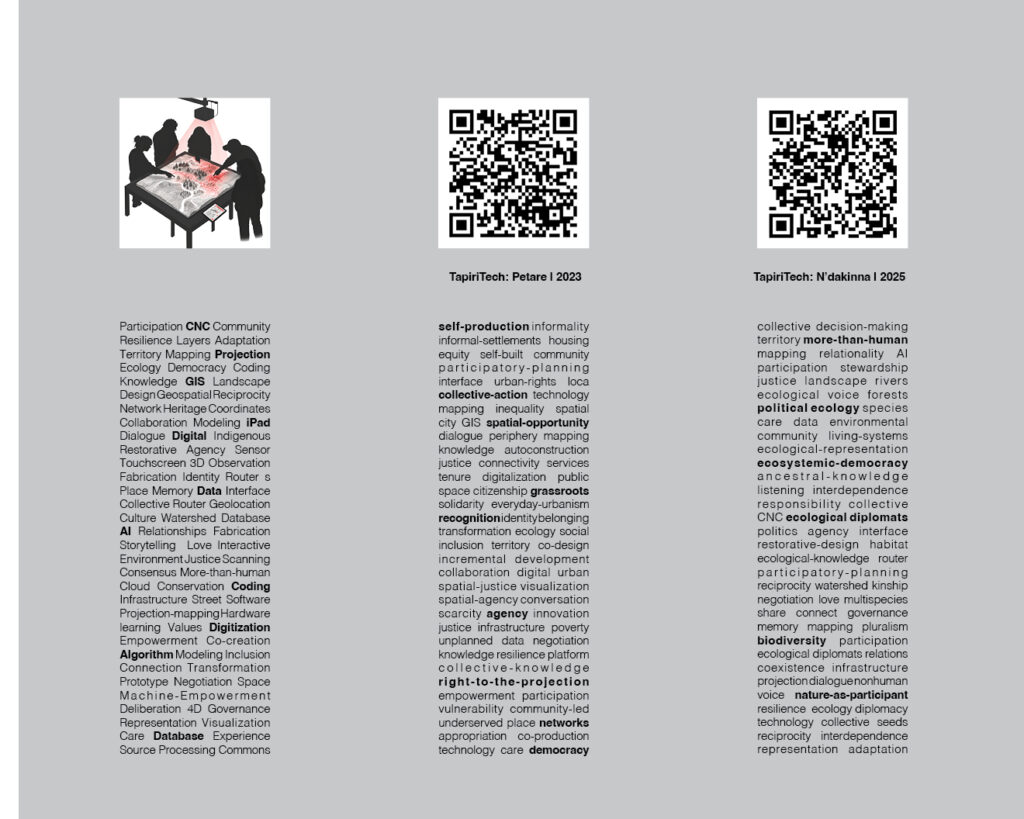
TapiriTech is a hybrid analog-digital platform that integrates participatory mapping directly into urban design. The system combines CNC-routed physical terrain models, GIS data, projection mapping, iPad drawing, and community storytelling, transforming the model into an interactive surface where spatial information can be collectively visualized, discussed, and modified.
Participants draw and narrate over projected territorial information while digital layers reveal hydrology, infrastructure, ecological systems, paths, and other spatial conditions. These interactions can be translated back into GIS, creating a feedback loop between community knowledge, digital mapping, and design.
Prototyped in the Petare and N’dakinna, TapiriTech uses technology as an interface for spatial dialogue, enabling participants and designers to negotiate territorial relationships and translate local knowledge into urban and ecological design strategies.